Hiking guide
ABC of hiking and mountaineering in Bohinj
Walking is the most natural and basic form of human movement, which is why hiking and mountaineering is one of the most popular forms of recreation. As an Alpine destination, Bohinj has a rich network of marked hiking and mountaineering trails, complemented by long-distance trails.
If you decide to explore the lowlands and mountains here, it’s still important to know a few key basics.
DEFINITIONS OF TRAILS
HIKING TRAILS
The hiking trails are mainly located in the valley part of Bohinj and are suitable for different categories of visitors (families, elderly).
- Easy (short, flat terrain),
- Moderate (longer distances and walking times, more than 150 m difference in altitude),
- Difficult routes (longer routes with an altitude difference of more than 200 m).
They are marked by wooden signposts attached to metal number plates and marked with yellow and white circles. All 17 hiking trails are presented on the Bohinj Hiking Trails Map and are also available in a digitised version on our website and apps.
LONG-DISTANCE TRAILS
Long-distance trails take you over mountain peaks, through valleys and all the way to the sea.


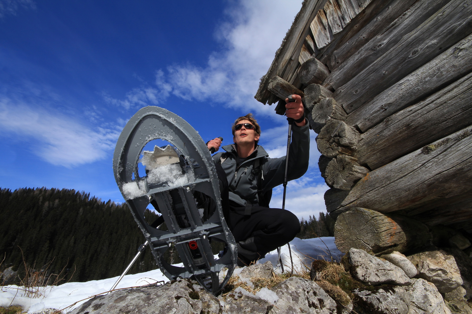
MOUNTAIN TRAILS
There are more than 300 km of mountain trails in Bohinj, maintained by various mountaineering associations. These trails are divided into easy, difficult and very difficult mountain trails. Mountain trails are marked with Knafelc blaze (white dot inside a red ring).
- An easy mountain trail is a mountain path intended for walking and recreational jogging, where the user does not need to use his/her hands for protection or to help him/her move along the path. In general, an easy mountain trail can also be used as a walking path.
- A difficult mountain trail leads through more difficult sections, where the hiker has to use their hands for safety, and where safety guards are installed on dangerous sections.
- A very difficult mountain trail is a path where walking is replaced or supplemented by climbing and where safety devices are installed to overcome difficult parts. To ascend safely on a very difficult mountain path, users need additional personal technical equipment such as a helmet, climbing harness and self-protection kit, and, due to the potential for snow on some sections, an ice axe and crampons.
DON’T GO OFF THE BEATEN TRACK!
If you get lost, follow the same route back to the first Knafelc blaze. Never continue into the unknown!
CHOOSING THE RIGHT TRAIL
Bohinj offers many opportunities for hiking and mountaineering. There are trails of different lengths and difficulty levels, so there is something to suit everyone.
WHEN CHOOSING YOUR TRAIL, PLEASE CONSIDER:
- That they are adapted to your current psychophysical abilities,
- That the difficulty of the trail varies with the seasons and the current weather conditions (fallen trees due to storms, increased slipperiness due to leaves on the trail, snowfields, torrents, etc.),
- That it takes just as long to get back to the starting point after reaching your destination (this is especially important in autumn when the days are short),
- That you have the proper equipment for the chosen trail and season
- Who you’ll be hiking/mountaineering with (are there children, dogs, etc.).
The digitised suggestions for hiking and mountaineering in Bohinj on our website can also help you plan and choose your trails.

PREPARING FOR THE TRIP

In addition to choosing the right route, you need to prepare carefully and take into account different scenarios. This is where an old saying comes into its own: Caution is the mother of wisdom.
METICULOUS PLANNING:
- Check the weather forecast (in advance and just before the walk itself: www.vreme.si)
- Book your accommodation in advance (and cancel your reservation if you don’t go!): Mountain hut bookings
- Plan your route all the way to a safe return to the valley
- Tell someone in the valley where you are going and when you plan to return
IMPORTANT:
- You must know how to use the equipment correctly
- We recommend wearing a helmet in the mountains
- In the mountains, temperatures can drop below zero even in the summer months (so always carry warm clothing, a hat and gloves)
CHOOSING THE RIGHT EQUIPMENT
ADEQUATE EQUIPMENT
Adjust your equipment to the planned hike and keep your backpack light. Always carry rain, cold and sun protection in your rucksack, as well as a first aid kit and a mobile phone (emergency number in Europe: 112). Use maps and GPS to help you find your way.
SUITABLE FOOTWEAR
Stable hiking or mountaineering shoes protect and cushion the foot and improve traction. When choosing footwear, make sure the shoes fit well, have soles with good grip, and are waterproof and lightweight.
WHAT ELSE SHOULDN’T BE MISSING IN YOUR BACKPACK?
Head lamp and spare batteries, aluminium foil or bivvy bag (for thermal protection in case of accident or unplanned bivouacking), emergency food (food with high energy value and long shelf life, light and small volume), sufficient liquid. Don’t forget to protect yourself from the sun.

WHICH IS BETTER - A MAP OR AN APP?

BOTH.
In case your mobile device runs out of battery, a printed map will come in handy. Mobile tools should only be additional support and to check updates on current conditions.
The mountain maps for the Julian Alps are published in 1:50,000 and 1:25,000 scales. They are available at all tourist information centres and via the publishers’ websites.
WHICH APPS DO WE RECOMMEND?
To complement printed maps, we recommend specialised mobile or web apps that have been verified by local tourist and hiking associations. Google Maps or apps based only on community input are unreliable and can mislead you (either when planning or later on the route).
As an app for hiking trails in Bohinj, we recommend:
RECOMMENDATIONS ON THE WAY
GET AN EARLY START ON YOUR JOURNEY:
- In summer, there is an increased chance of thunderstorms in the afternoon, accompanied by lightning, from which we are only really safe in the mountain hut.
SIGN THE LOGBOOKS:
- Please sign the logbooks in the mountain huts and on the summits. The information is useful for mountain rescuers in case they need to search for you in the event of an accident.
LEAVE NO OTHER TRACES ON THE WAY!
- Put the waste in your rucksack and take it back to the valley with you.
- Don’t pick wildflowers, scare animals, make noise or dislodge rocks.
- During periods of drought, be careful not to start fires.
ENSURE YOUR COMFORT ON THE WAY:
- Drink enough fluids.
- Allow yourself enough stops for rest and snacks.
- Alcohol, drugs and tobacco do not belong in the mountains.

GOLDEN HIKIGN RULES

On the Slovenian Mountaineering Association’s website, you will find many additional tips and recommendations for safer hiking and mountaineering.
UPGRADE YOUR KNOWLEDGE
Make your journey to the mountains more informed, your experience better and awareness of the consequences greater:
WHY DO WE RECOMMEND HIRING A GUIDE?
As well as adding interesting details and facts to your hiking experience (and showing you many sights you might have missed on your own), there are at least three reasons why hiring them is a good idea:
- Reason 1: The guide knows the terrain very well and will make sure that the hike is safe and, if necessary, can choose alternatives to the original destination.
- Reason 2: By hiring a guide you are supporting your local community
- Reason 3: The guide knows where to observe wildlife
Slovenian Mountaineering Association guides are those who love to hike, have some knowledge and experience in mountaineering, are sociable, friendly to nature and their fellow human beings, and are willing to teach others and share their knowledge and experience with them. SMA guides are also qualified professionals in the sport of mountaineering, as their professional work – guiding people in the mountains – is constantly intertwined with their
work for the Association.
The International Mountain Guide is trained to UIMLA’s high international standards. A guide before, during and after the tour will take care of everything you need to make the tour as safe and interesting as you want it to be. Safety on a tour is key.
A mountain guide is a qualified person who, at the request of and in agreement with the excursionist, hiker or other guest, prepares and organises a visit to the mountains.

PURCHASE AND HIRE OF HIKING EQUIPMENT
Hiking equipment shops in Bohinj:
- Bohinjska Bistrica: Intersport in Mercator
- Ukanc, lower cable car station: Vogel Sport
Equipment rental in Bohinj:
- Hiking equipment can also be borrowed in Ribčev Laz from the sports agencies Alpe d.o.o. and Alpinsport.
Hiking equipment shops in Bled and Lesce:
- Koala and Intersport in Bled
- Kibuba and Iglu in Lesce.
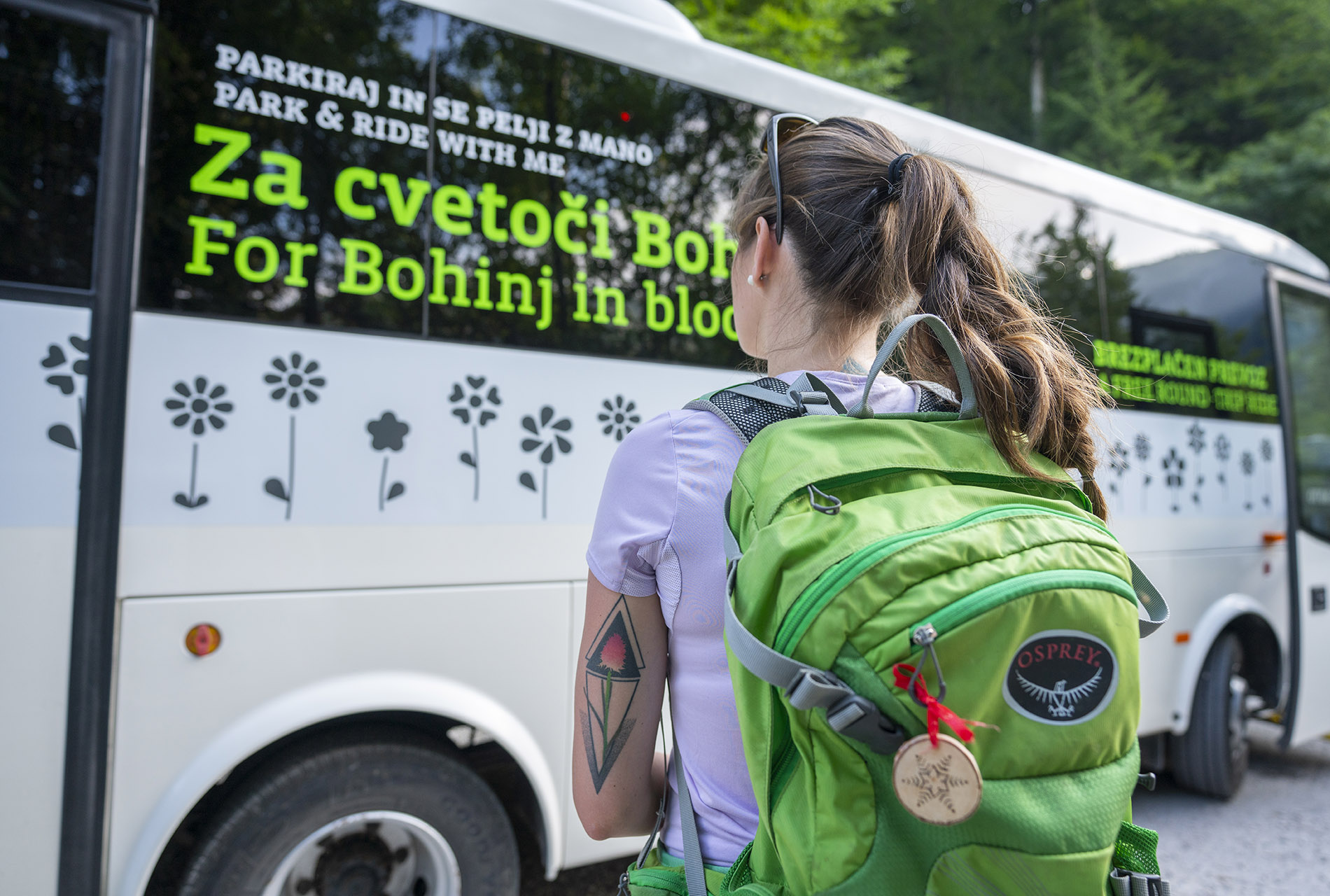
BY PUBLIC TRANSPORT TO THE STARTING POINTS
With public bus transport, we aim to reduce air pollution in the sensitive Alpine environment, protect vegetation, reduce noise and avoid bottlenecks from heavy traffic and overparking.
TIMETABLES:
- Organised shuttle services around Bohinj,
- Julian Alps Card: Bohinj,
- Timetables of regular buses: arriva.si,
- Train timetables: potniski.sz.si.
PARKING AND ROAD CLOSURES:
THE HEALING EFFECTS OF HIKING/WALKING

WHY WALK AT ALL?
- Regular exercise improves health and fitness
- The sun is a source of vitamin D and the happy vitamin
- To feel more alive in nature
- Fresh air during a hike fills your lungs
- Walking reduces the risk of many diseases
- Control your weight by hiking
- Hiking has a positive effect on psychological factors
- getting fit
- maintaining a healthy lifestyle
- training to walk on different terrains
- weighted walking training (backpack)
- breaking in hiking boots
TRIP SUGGESTIONS
- Arrival: By train to Bohinjska Bistrica train station
- Bohinjska Bistrica-Ravne-Orožnova koča Mountain Hut on Planina za Liscem-Črna prst-Podbrdo (6 hours walk)
- Return: by train from Podbrdo
- Arrival: By regular bus to Bohinj Ukanc bus station
- Ukanc-slap Savica-Dom na Komni Mountain Hut-Ukanc (6 hours walking)
- Return: by regular bus from Bohinj Ukanc bus station
- Arrival: By regular bus to Bohinjsko Jezero bus station
- Lake Bohinj-Stara Fužina-Mostnica Gorge-Koča na Vojah Mountain Hut- Mostnica Waterfall-Stara Fužina-Lake Bohinj (5 hours walking)
- Return: by regular bus from Bohinjsko Jezero bus station
- learn more
- Arrival: By train/regular bus to Nomenj station
- Nomenj-Grmečica Waterfall-Emin Plavž (iron forging site)-Nomenj (1-hour walk)
- Return: by train/bus from Nomenj station
- learn more
- Arrival: By train to Bohinjska Bistrica train station
- Bohinjska Bistrica-Strme-Vrh Bače Summit-Bača-Podbrdo (6 -hour hike)
- Return: by train from Podbrdo
- learn more
- Arrival: By regular bus to Ukanc bus station, crossroads, by cable car to Vogel Ski resort
- Vogel Upper Station-Zadnji Vogel Alpine Meadow-Komna-Koča pri Savici Alpine Hut-Ukanc
- Return: by regular bus from Bohinj Ukanc bus station
- learn more
- Arrival: By regular bus to Jereka bus station
- Jereka-Vodnik’s Viewpoint-Jereka
- Return: by regular bus from Jereka bus station
- learn more