Latest news
What is good to know before coming to Bohinj?
Check when the info centres in Bohinj are open, what activities are currently available and other useful information.
Winter is not over just yet
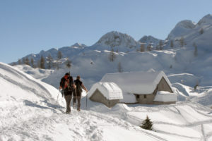
Careful in the mountains! Snow conditions still require winter equipment (crampons, ice-pick, suitable footwear, warm clothing), experience and knowledge of how to use the equipment and move safely in the mountains in winter conditions. The conditions in our mountains are very demanding and most of the mountain huts are still closed, therefore, we advise hiring mountain guides.
Avalanche danger level
Crossrisk logo The population of the cross border SI-AT program region is in many aspects exposed to hazards caused by rain and snow. In order to warn about these conditions, the CROSSRISK project, in cooperation of Austrian and Slovenian warning services (meteorological services, competent departments of the countries) and scientific partners draws up uniform warnings of precipitation-related dangers.
PLAN YOUR ARRIVAL AND ACTIVITIES
ABOUT HIKING IN WINTER CONDITIONS
- We recommend that you opt for easily accessible peaks, bearing in mind that the days are shorter. Most huts in the high mountains are closed.
- Only set out with the right equipment, choose a destination that suits your fitness level and check that the weather conditions are suitable.
- View the current trail conditions here: https://stanje-poti.pzs.si/en.php
- For information on hiking trails, you can also access the maPZS web app and the Slovenia Outdoor mobile app in Google Play or Apple App Store
CAN I GET TO BOHINJ AND THE JULIAN ALPS BY PUBLIC TRANSPORT?
- Absolutely! Regular bus and train lines are available throughout the year (timetables and detailed information can be found on the websites of the providers Arriva.si and Nomago.si and Slovenian Railways).
- Information about additional winter transport (ski bus) is available on the website promet.bohinj.si and in the app: www.mobility.julian-alps.com
- More general information about Mobility in the Julian Alps
WHERE CAN I FIND MORE RELEVANT INFORMATION TO PLAN MY TRIP?
- For real-time traffic conditions, please visit www.promet.si.
- For information on parking and local transport in Bohinj, visit promet.bohinj.si.
- To access the latest weather forecast, navigate to https://vreme.arso.gov.si/.
- Additionally, we suggest visiting the websites of each destination to gain insights into the current local conditions.
We hope this information will help you plan your visit to Bohinj and the Julian Alps. We look forward to welcoming you to this beautiful destination soon!
TRAFFIC REGIME AND PARKING
This link provides information on parking, public transport and organised transport in Bohinj. The ski bus is scheduled to start on 23 December. Timetables are published on promet.bohinj.si
Info centres
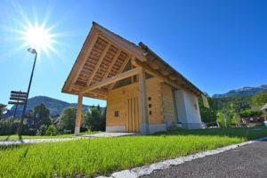
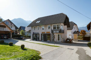
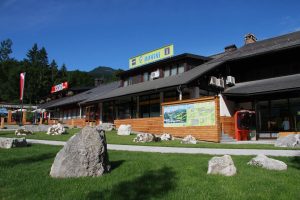
Need help finding accommodation? Looking for tips for excursions or other activities to make your holiday in Bohinj more enjoyable? Need a map and quality information for safe hiking? Visit us at our info points. We’ll be happy to help.
BOHINJ 2023/2024
Which sights can you visit?

Hiking
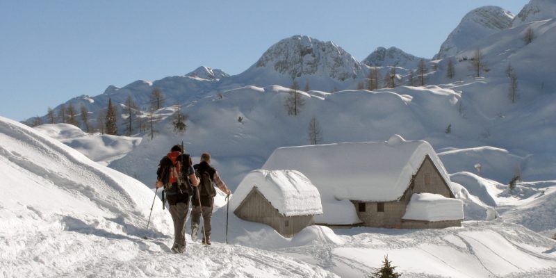
If you are experienced enough, have checked the weather forecast, have chosen a safe route, are fit and have good equipment, you may still want to venture into the mountain world.
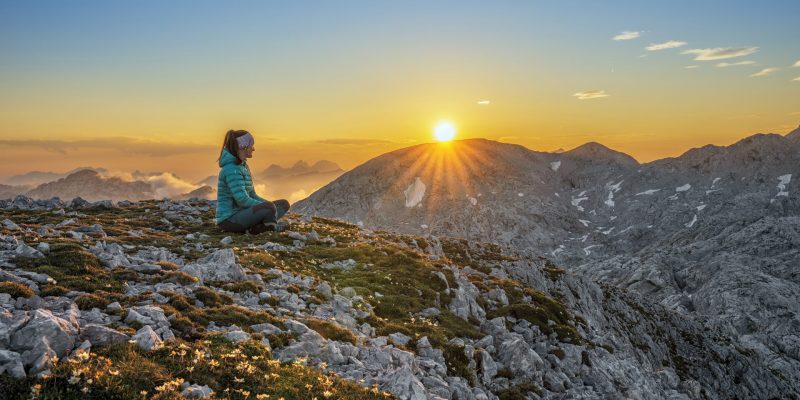
We recommend visiting the mountains in small groups and following safety recommendations.
We also ask mountain visitors to go into the mountains with common sense and to limit their hikes to their abilities and the equipment they have.
Movement on the Ožarjeni kamen to Pršivec trail is life-threatening due to the crumbly terrain and rockfall.
More information: Planinska zveza Slovenije
Before the tour, let’s ask ourselves:
- How well prepared am I (mentally and physically)? Is the chosen route suitable for me?
- What is the weather forecast? Poor weather and visibility can increase walking times by up to 10 times. Do I have clothes that will protect me from strong winds, cold and precipitation? Is there a hut, bivouac, shelter on the way where I can retreat?
- In what condition is the chosen path? Which direction will I walk (north, south, east, west)? Prepare a route plan. Divide the route into smaller sections, allow for breaks and approximate walking times. Create a picture of the route and walk it in your mind.
- Do I have all the things I need for today’s tour in my rucksack?
- How far is it and how long will it take me to complete the whole journey? We are only halfway to the top – our goal is to return safely to the valley and home.
- How steep is the terrain? Will I have to walk it in the parts, which will take more time (but is less tiring)?
- What is the terrain like? Are there boulders, scree on the way? Is there a bush on the way that will slow me down, or will I be able to get around it?
- Are there features on the route that I will have to overcome: switchbacks, rivers, steep jumps? Can I bypass them?
- What dangers might I encounter on the way: precipices, a grassy world, falling rocks?
- How to walk?
- What walking speed should I take? Are there children with you?
- Plan your trip accordingly.
- Choose a tour that suits your physical and mental fitness, taking into account your health and the health of the tour participants. Pay particular attention if you have any chronic diseases, allergies or are a heart patient.


